English (UK)
  Italian (IT)
 USE OF UAV (UNNAMED AERIAL VEHICLES)
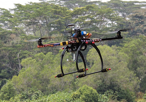
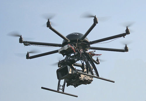
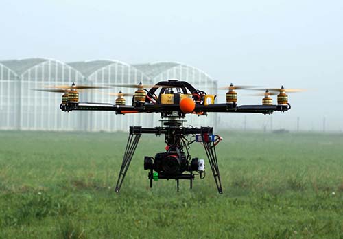
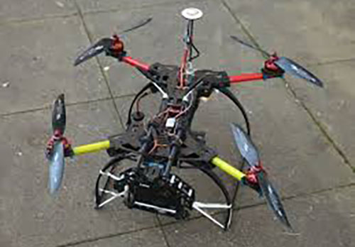
With the evolution of new technologies, Soradis S.I.A. Srl has created a specific Department within the Company structure to operate with professional drones.
The company is recognized and certified by E.N.A.C. (rif. 4898) as UAV operator (unnamed aerial vehicles), and to operate in different scenarios, including critical areas.
Soradis S.I.A. S.r.l. uses various selfpowered drones with specific measuring systems for each mission, like television cameras, cameras thermal / infrared / Spectrograph and other high-definition instrumentation.
The on-board system sends the data acquired during the flight mission to the ground-station. These data will be developed and converted, based on specific customer requirements.
The use of Soradis S.I.A. drone is specific for monitoring, geographical features, aerial surveys for civil purpose, in scientific research, to check rail infrastructures, in the agriculture, forestry and environment field, in touristic and archeologic areas, including events and demonstrations of various kinds.
Currently we are operational in the following areas:
- Photogrammetry systems
- Aerial video shooting
- Thermography
- Georeferenced inspections
- Precision agriculture
- Aerial survey
- Environment and territory Scientific research